Nanning Map
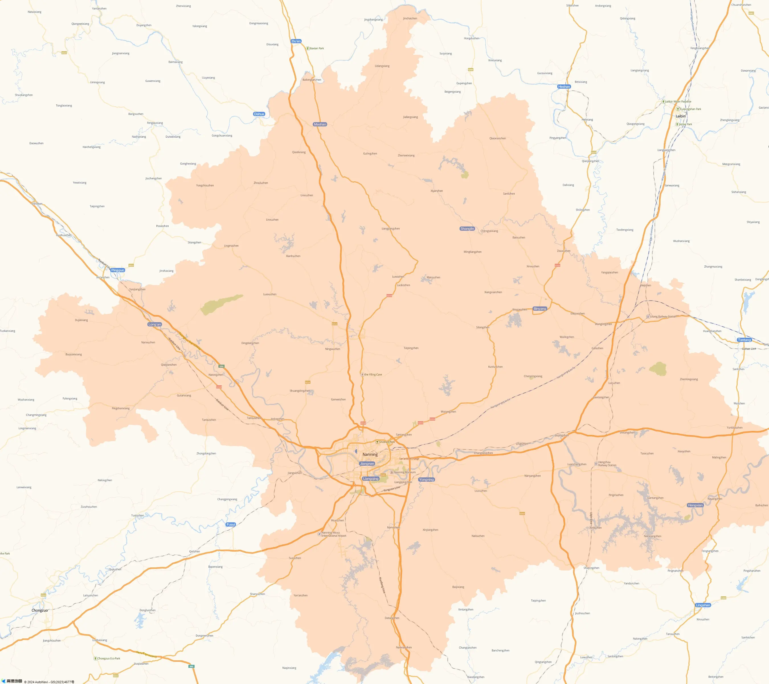
This is a map of Nanning City in Guangxi Zhuang Autonomous Region. Nanning, located in the southwest of Guangxi, adjoins Guangdong, Macau and Hong Kong, and faces the Southeast Asia. It's a very important transportation hub connecting the southeast coastal cities and the southwest inland cities of China.
Seen from this city map, the river Yongjiang crosses the city from west to east. The major roads are clearly. The most conspicuous road is the ring road in yellow color, made up of Zhuxi Dadao (Avenue), Xiangzhu Dadao, Xiuxiang Dadao, Qingchuan Dadao, Shajing Dadao, Nanzhan Dadao and Baisha Dadao. There are several roads by the Yongjiang River, which are very suitable for a promenade. They are Jiangbin Lu (Road), Linjiang Lu and Hedi Lu on the northern bank and Yinsha Dadao, Tingjiang Lu and Yanjiang Dadao on the southern bank.
A railway crosses the city from northeast to southwest. You can see three railway stations on the rail line. At present, only the Nanning Railway Station provide passenger transport service. The locations labeled with green are some tourist attractions in the downtown, such as Nanhu Park, Liusha Horticulture and Wuxiangling Forest Park.![]() Further reading: Nanning Metro Maps
Further reading: Nanning Metro Maps