Haikou Map
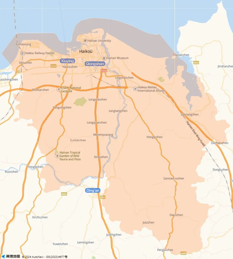
Haikou City, located in the north of Hainan Island, adjoins the Qiongzhou Strait (Qiongzhou Haixia) on the north and lies across the sea 18 sea miles from Haian Town of Guangdong Province. Look at the map above. The city is long from east to west and hearted-shaped. The longest river Nandujiang crosses the middle of the city. In this Haikou map, you can see the major roads (lu in Chinese), avenues (dadao) and streets (jie) of the downtown, such as the beautiful long Binhai Dadao, Haisheng Lu and Gaodeng Jie.
The locations labeled in red are some places of interest in the city, including Wugong Temple, Shengmu Temple, Hairui Cemetery, Martyr's Cemetery and Li Shuoxun Monument. The Haikou Port (Haikougang) lies off the Binhai Dadao. The major hospitals, buildings, bookstores, banks, and the Hainan University and the like can be seen very clearly. Some residential villages distribute among the city, such as Dake Cun, Xiajie Xincun and Xiaxian Cun. Some of these villages are being reconstructed. In the near future, they will merge into the city.