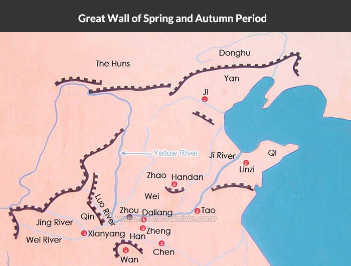
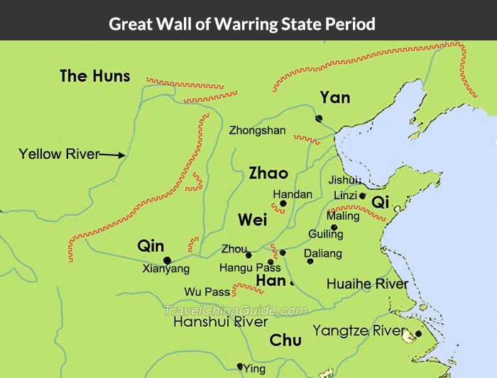
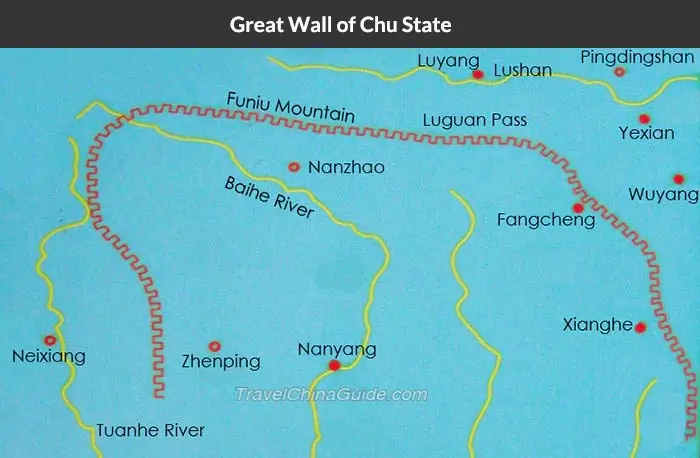
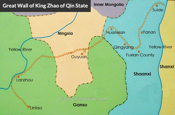
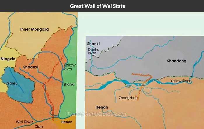
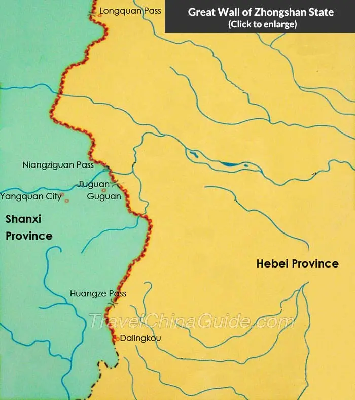
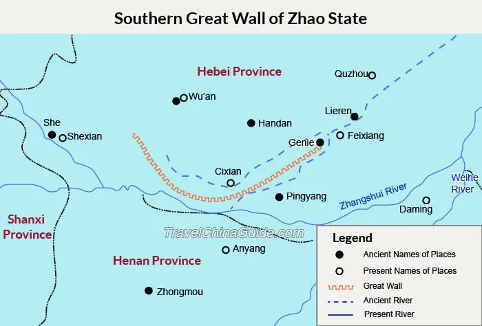
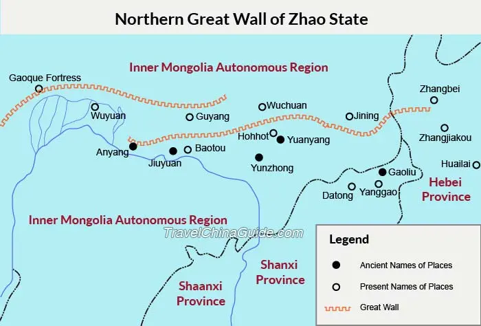
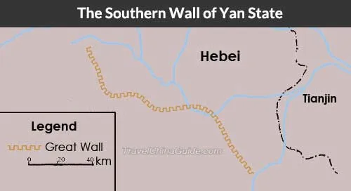
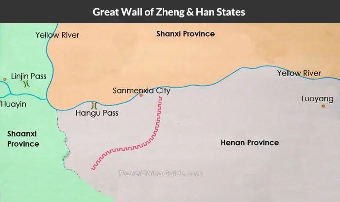
Maps of Great Wall of Ducal States
The construction of the Great Wall started from the Spring and Autumn Periods (770 BC - 476 BC) by different ducal states to defend their borders. In Qin Dynasty, they were connected and several thousand miles were extended, thus formed the Great Wall of China. The maps below show the readers the courses of the Dudal States Great Wall and Qin Dynasty Great Wall.
|
|
|
|
|
|
|
|
|
|
- Last updated on Jun. 18, 2026 by Sherry Xia -