Tashkurgan City Pictures
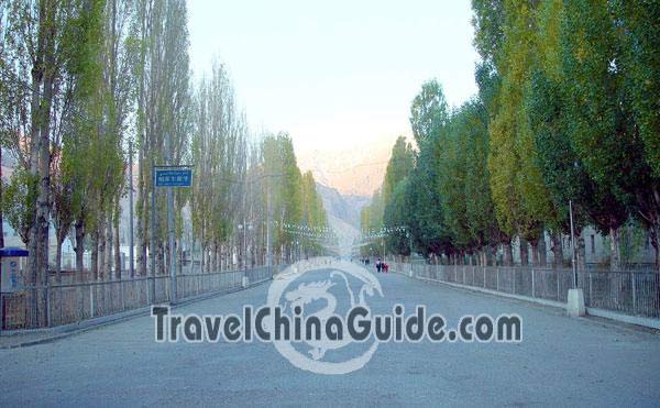
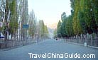
Go along this road and you will feel the peacefulness of this remote county.
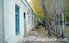
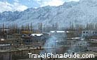
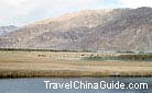
Situated on the Pamir Plateau, Tashkurgan County was an important passage through which silk was transported from middle Asia to west Asia. It is at an elevation of 4,000 meters (13,123 feet) and its border line is 888.5 kilometers (552 miles). There is an asphalt road going through the county. Go along the road, one can admire the splendor of the snow mountain.
- > Kashgar to Tashkurgan (7)
- > Stone City (12)

1 of 6 photos
- Last updated on Jun. 22, 2017 -