Map of Downtown Chengdu
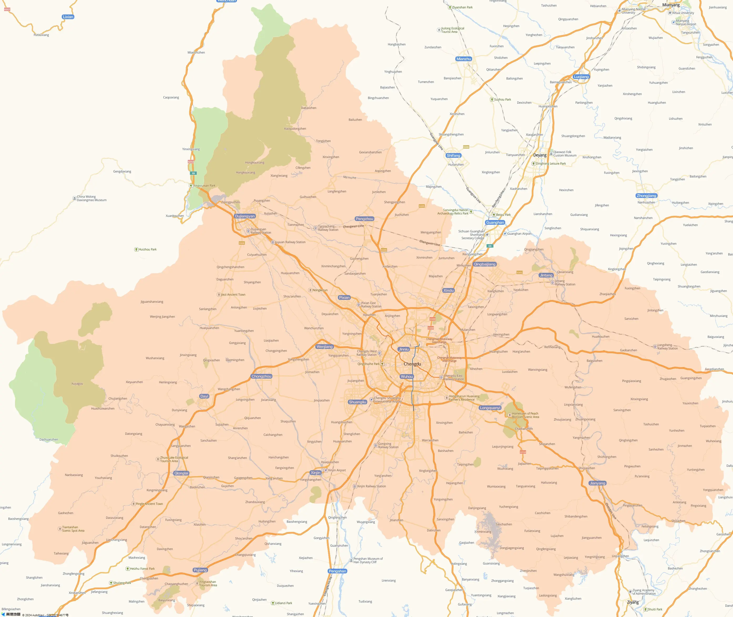
Located in the middle part of the Chengdu Plain, Chengdu is situated between 30°5'N and 31°26'N, 102°54'E and 104°53'E. It adjoins Deyang on the northeast, Ya'an on the southwest, Aba Tibetan and Qiang Autonomous Prefecture on the northwest and Meishan on the south. Abundant rivers, the fertile plain and favorable climate endow it with a beautiful name 'the Land of Abundance'.
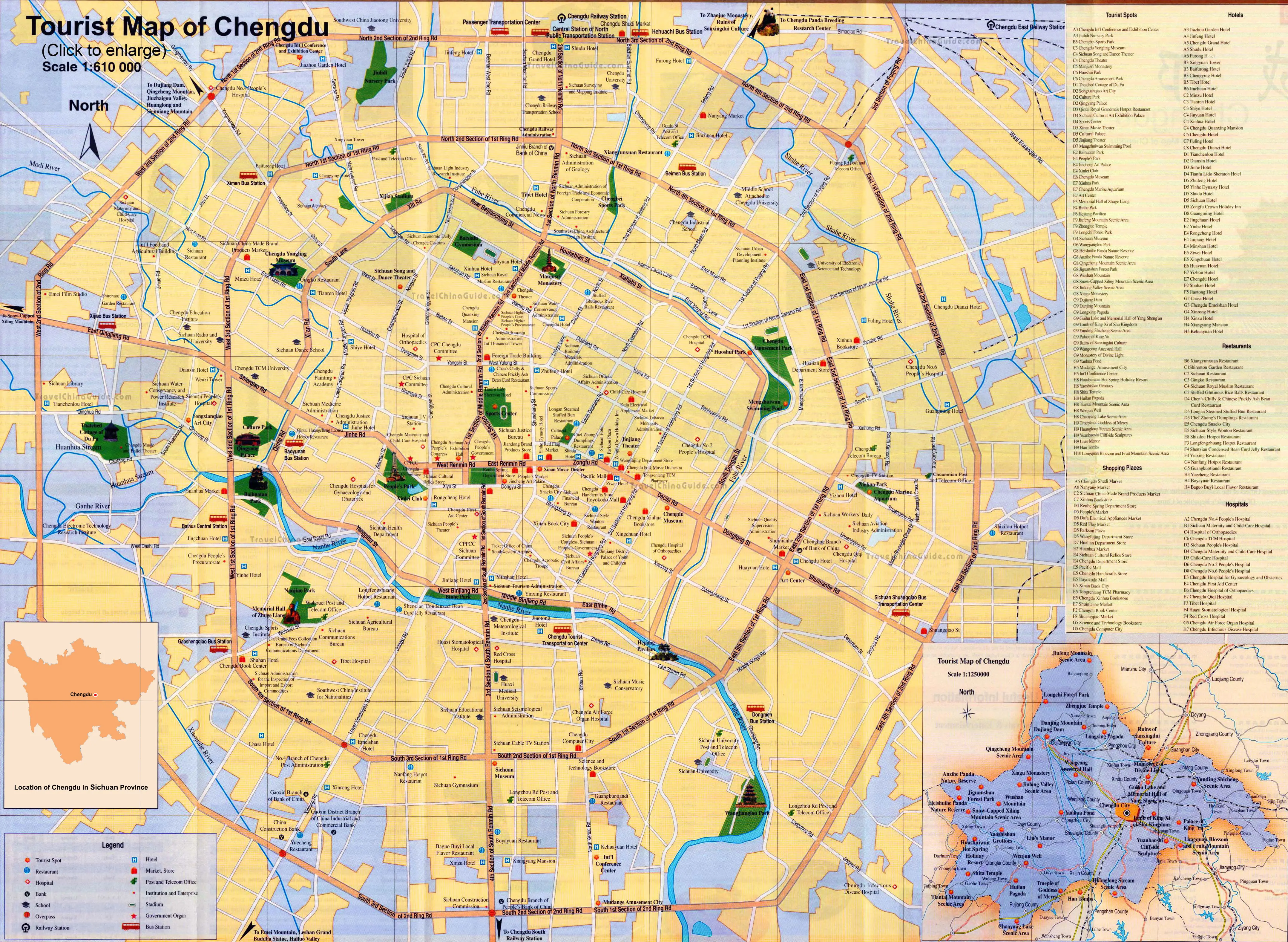
The above downtown Chengdu map shows an area of about 598 square kilometers. As the yellow lines show, they are three ring roads - Yihuan Lu (First Ring Road), Erhuan Lu (Second Ring Road) and Sanhuan Lu (Third Ring Road). The names of the ring roads have been added ahead with Chinese pinyin standing for directions – Dong for east, Xi for west, Bei for north, and Nan for south. For example, Beiyihuan Lu means the First Ring Road (N.).
There are several rivers across the downtown, such as the Nanhe River from northwest to southeast, the Fuhe River from north to south and the Shahe River from northeast to southwest. In the map, tourist attractions are labeled in red. You can see Sichuan Museum, Yongling Mausoleum, Du Fu's Thatched Cottage, Wenshu Monastery, the Tomb of Shu King of the Ming Dynasty, Jinsha Relic Site, the Temple of the Marquis of Wu and Ma'anshan Martyrs' Cemetery.
Tourist Map of Chengdu
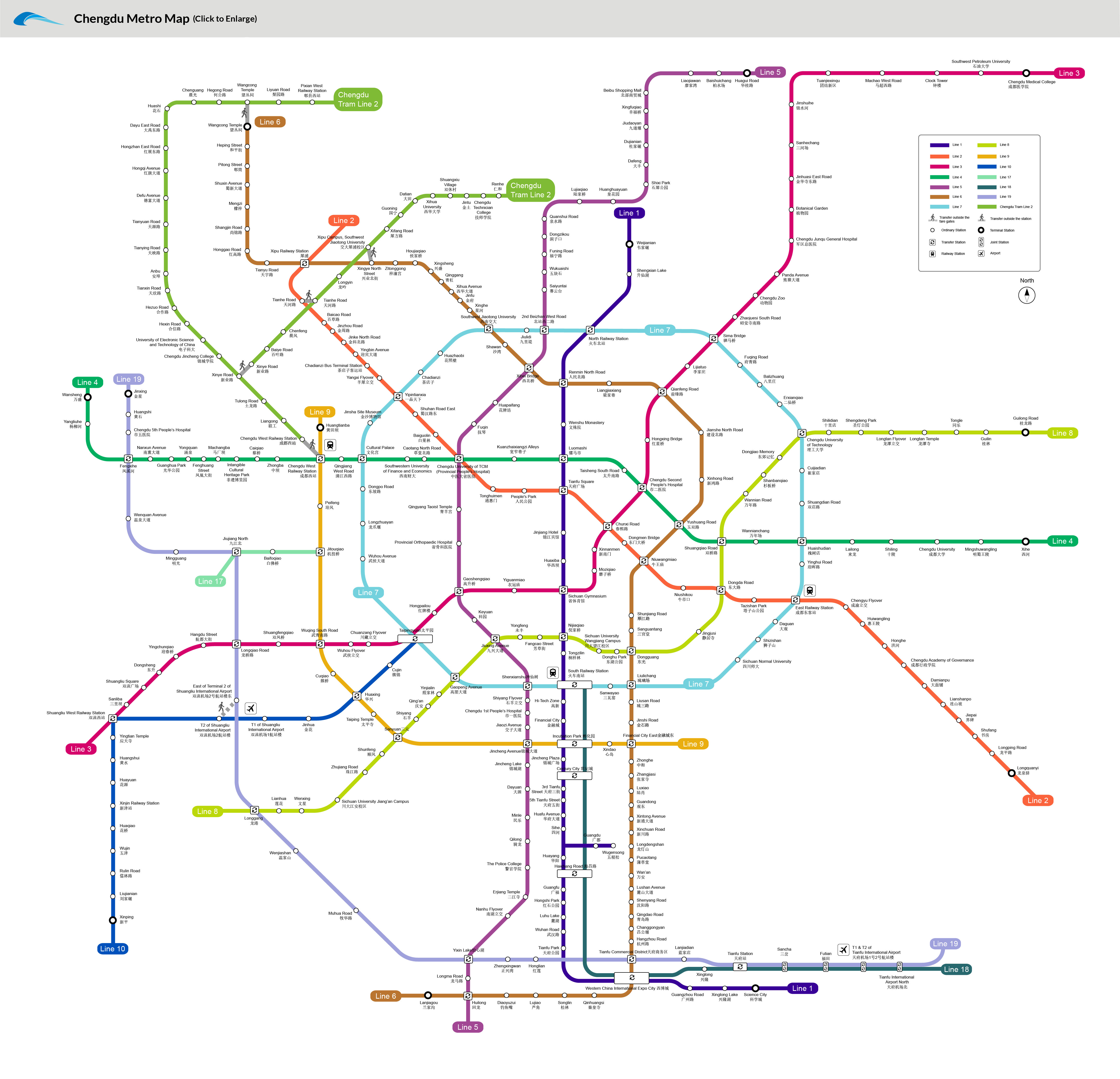
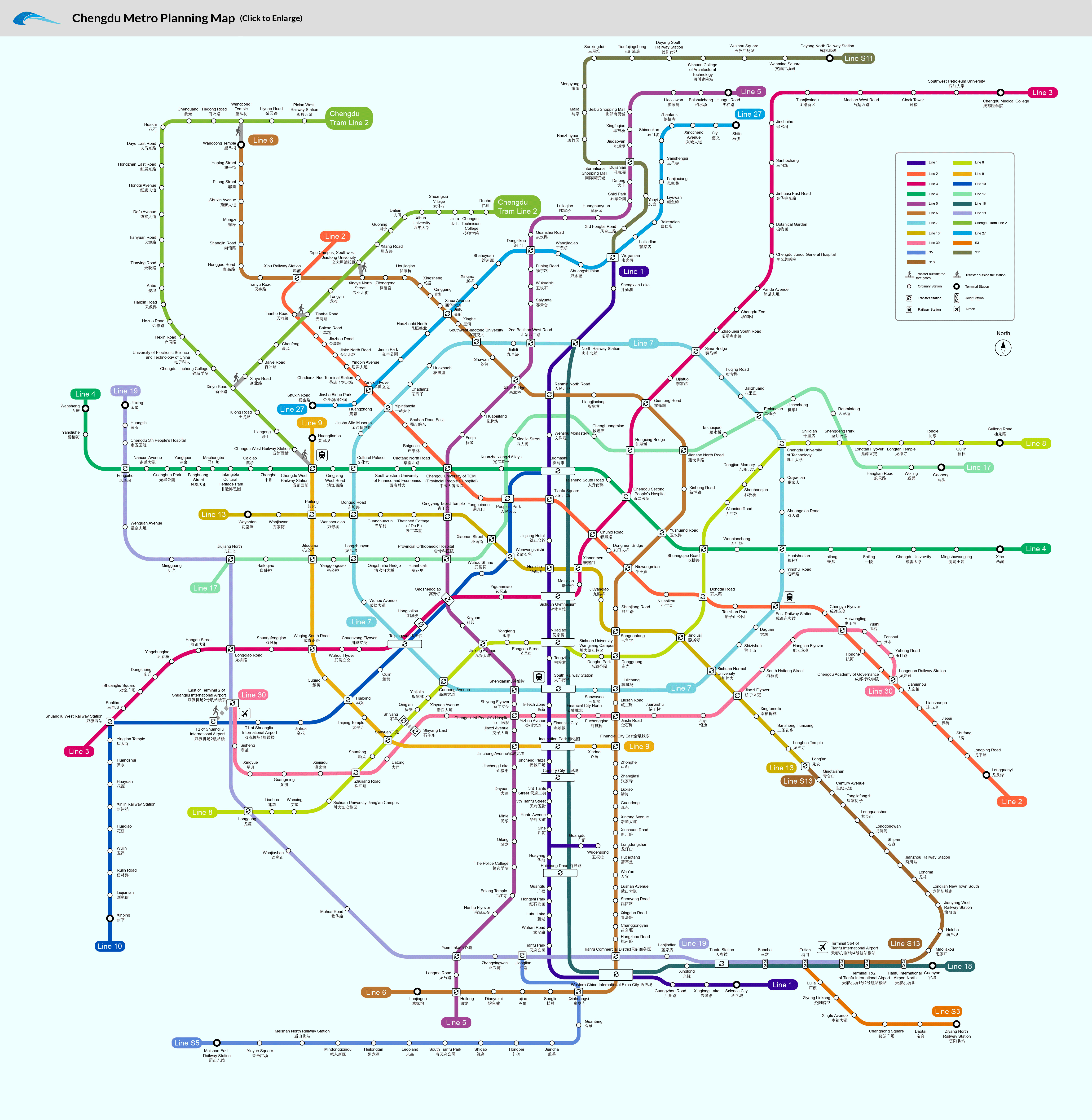
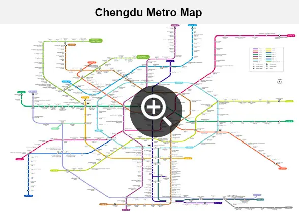 | | Chengdu Metro Map | | 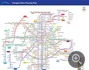 | | Chengdu Metro Planning Map | |
Chengdu Top Attraction Maps
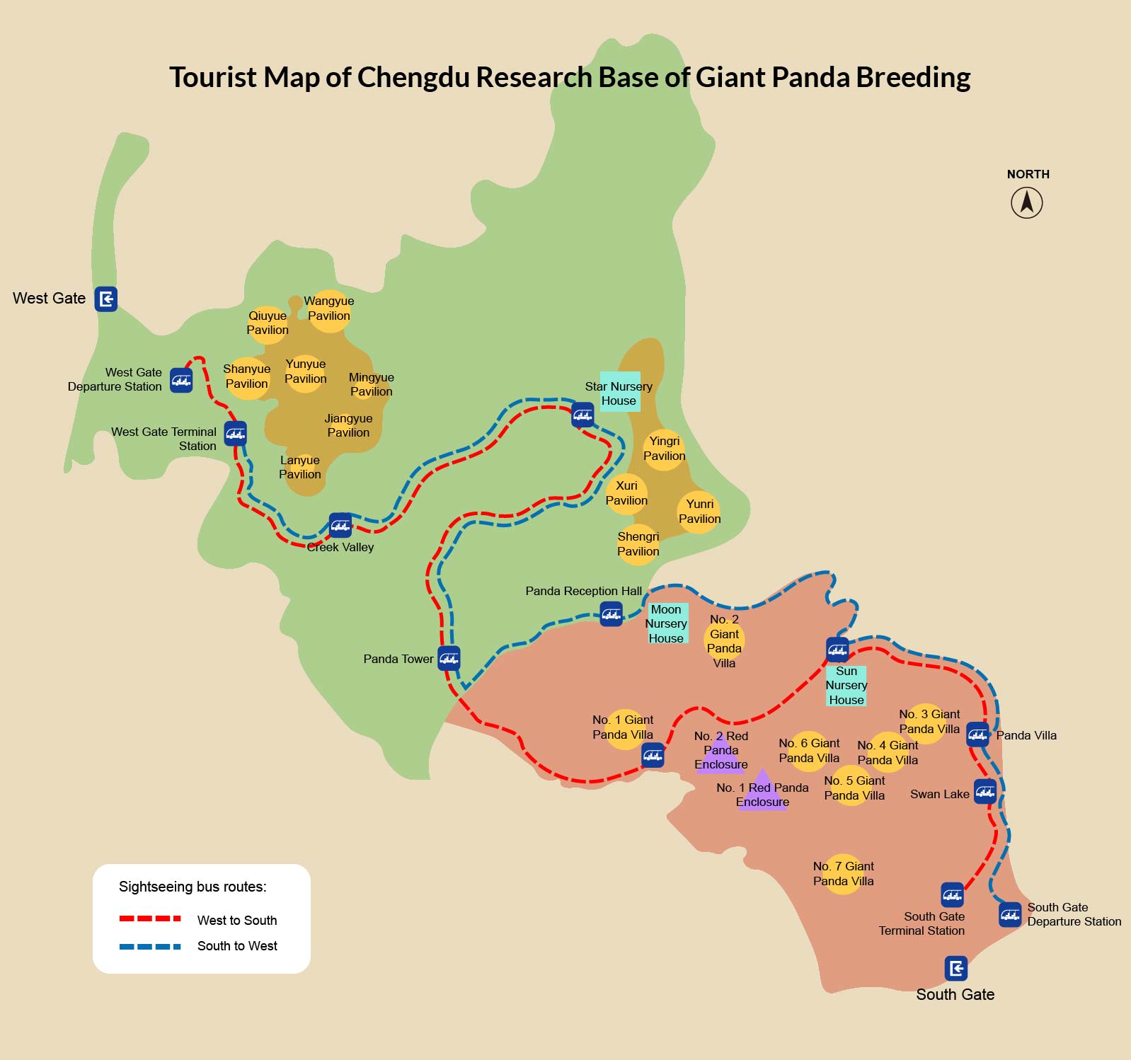
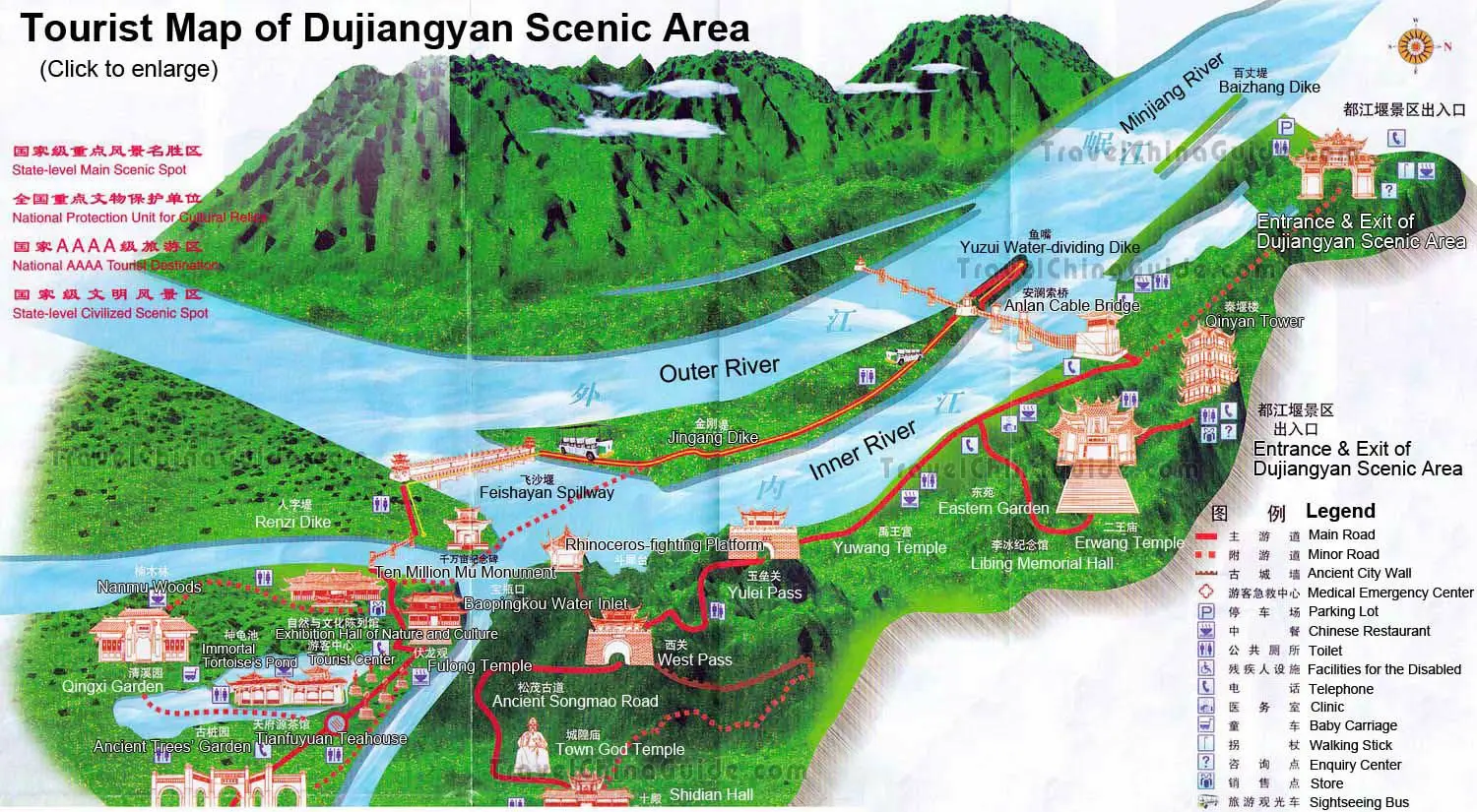
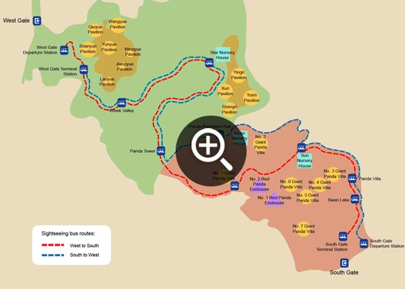 | | Map of Chengdu Panda Base | | 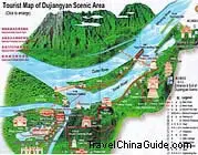 | | Map of Dujiangyan Irrigation System | |
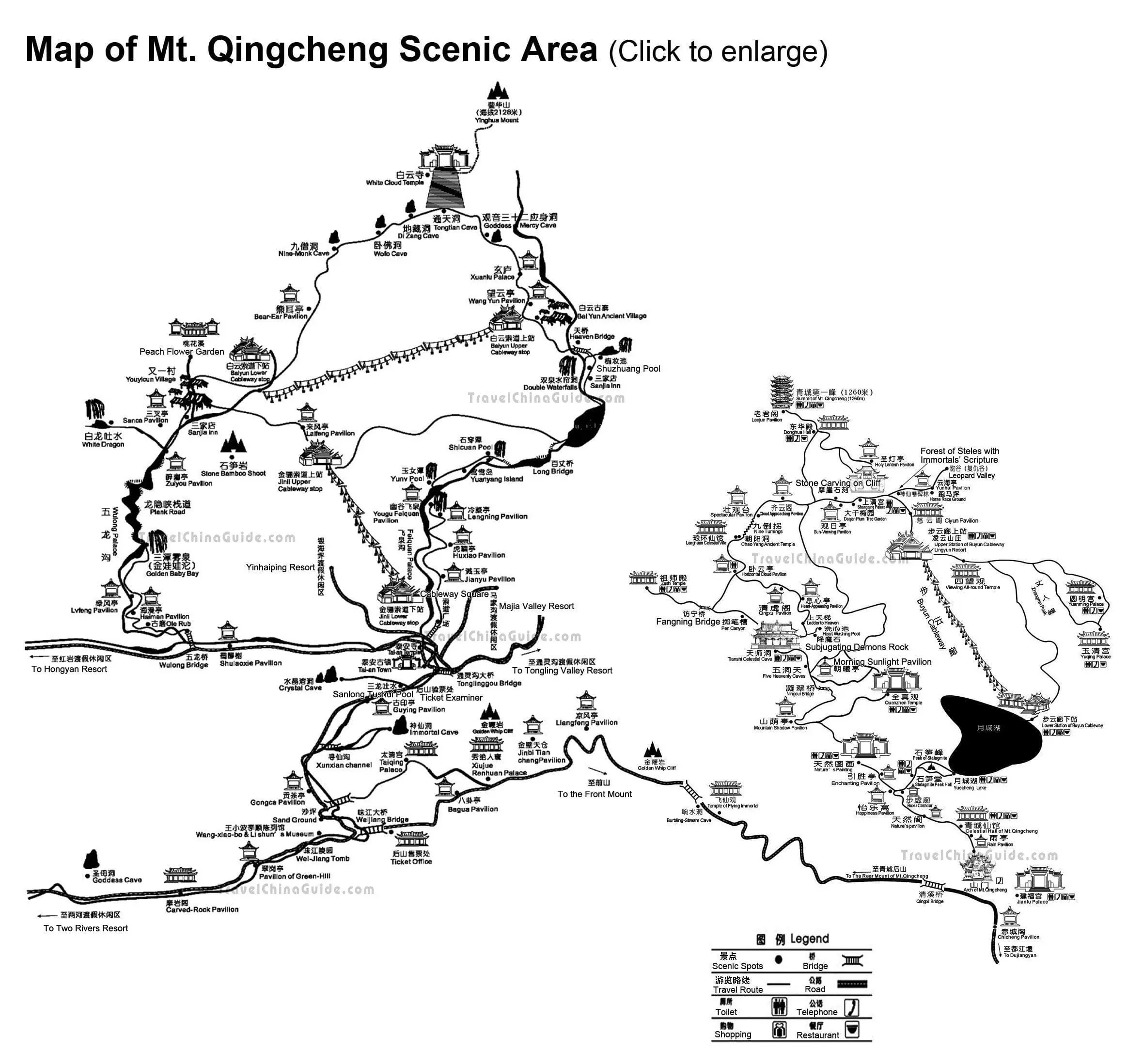
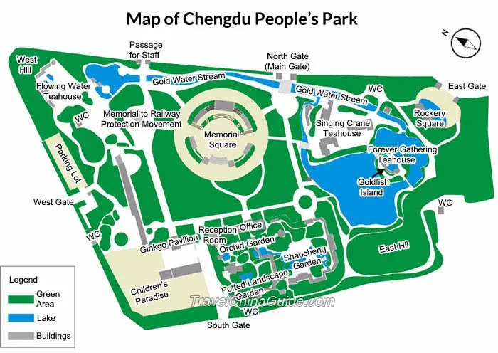 | | Map of Chengdu People's Park | | 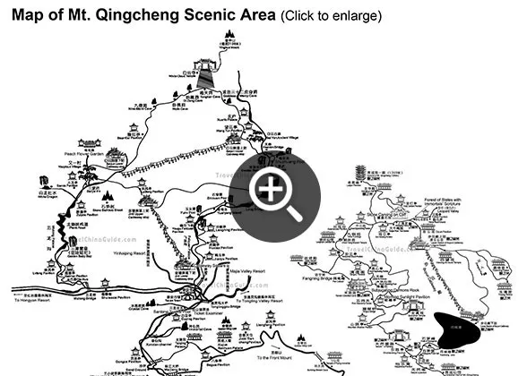 | | Map of Mount Qingcheng | |
- Last updated on Jul. 22, 2026 by Alex Jin -