Shigatse Weather in October
Season: Autumn
In October, the sky in Shigatse is clear and sunny due to the scarcity of rainfall, accompanied by abundant daylight and marked dryness.
The temperature is refreshingly cool during the day, but it becomes cold after sunset, dipping below 0℃ (32°F) at late night.
Averages for Shigatse Weather in October
High Temperature: 17°C / 63°F
Low Temperature: 0°C / 32°F
Rainy Days: 1 day
Rainfall: 3mm
Sunrise: 7:57~8:16
Sunset: 19:19~19:50
Tips for a Smooth Shigatse Tour in October
1. Enjoy Off Season Discounts
From October 15th, Tibet offers off-season discounts on flights, hotels, and scenic spot tickets, making it a budget-friendly time to visit.
But in case you're unable to visit Shigatse during the latter half of October, note that tickets and lodging are scarce, and prices surge during China's National Day holiday, which always spans the first seven days of October. Schedule your trip outside this peak to save on costs.
2. Seize the Last Pleasant Everest Viewing Time
Take advantage of this last ideal month for both appreciating Mount Everest and staying at Everest Base Camp, as you have a high possibility of viewing the clear Mount Everest with mostly sunny conditions and tolerable coldness.
October Packing Guide for Shigatse
Clothing: Shirts and light sweaters are sufficient for Shigatse cool daytime in October while heavier options like woolen sweaters are needed at night. In Everest Base Camp, wear thick down jackets to brave the extreme cold. Layering is key for temperature fluctuations.
Accessories: With strong winds being a common occurrence, woolen hats and scarves will not only keep you warm but also add a stylish touch.
Footwear: Comfortable sneakers are ideal for daily activities, while sturdy hiking boots or trekking shoes are essential for outdoor adventures.
Sun Protection: Pack high-SPF sunscreen, a sun hat, and sunglasses to shield yourself from sunburn under Shigatse intense sunshine in October clear sky.
Moisturizing Products: The dry climate necessitates the use of moisturizing facial cream, lotions, and other skincare essentials to keep your skin hydrated.
Rain Gear: Pack a lightweight, waterproof jacket or raincoat in case of unexpected showers in October in 2026, especially in Shigatse mountainous areas where snowfall is possible this month.
|
|


Top Attractions to Visit in August
1. Everest Base Camp
In October, Mount Everest, less obscured by clouds, stands tall and proud. The sunset over the mountain is a sight to behold, as the golden sunlight bathes the peak in a warm glow, gradually transitioning to a blush that captures your heart.
At Everest Base Camp, the night sky is a dazzling display of stars, shining brightly like diamonds scattered across a black velvet canvas. The Milky Way stretches across the horizon, adding a touch of cosmic wonder to your experience. Occasionally, meteors streak across the sky, leaving trails of fire that spark your imagination and inspire awe.
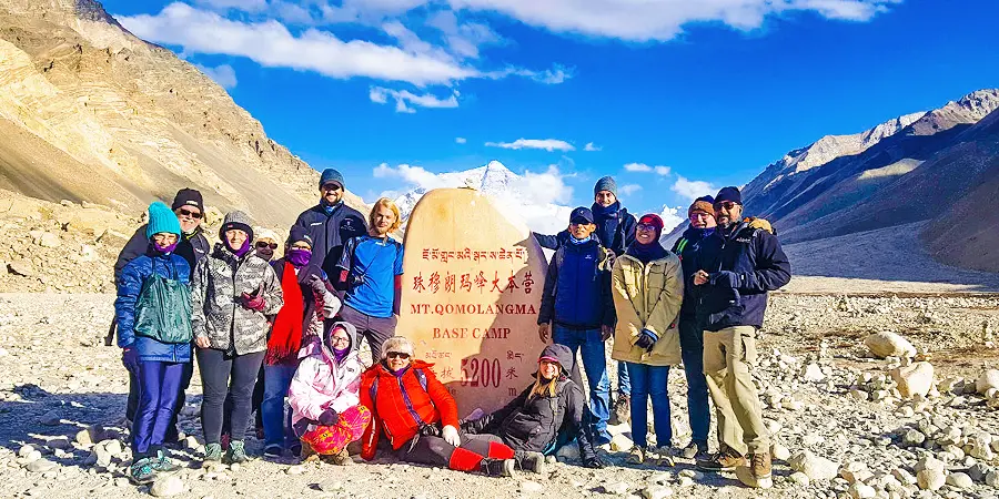 |
| Everest Base Camp |
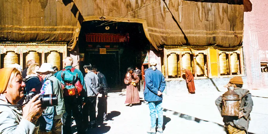
2. Sakya Monastery
Step into Sakya Monastery and be amazed by its towering wall with over 80,000 precious scriptures, each carrying the wisdom and faith of countless generations, like a living library of Tibetan Buddhism.
Check if the scriptures are orderly or not! An intriguing legend claims that the wall serves as a mystical barometer of global harmony, aligning perfectly in peaceful times and becoming disarrayed during turmoil.
Another highlight of Sakya Monastery is its treasured white conch shell, a symbol of good fortune and wisdom in Tibetan Buddhism. As the shell is played by the monks, let the melodious sound purify your heart and take away your worries of the mundane world.
 |
| Sakya Monastery |
3. Mount Shishapangma & Paiku Lake
Mount Shishapangma, towering at 8,027m (26,335 ft.), is China's second-highest peak. In the crisp, clear air of October, its silhouette is distinctly visible. When the sunlight kisses the snowy peaks, the golden glow creates a mesmerizing contrast with the pristine snow.
Not far away from Shishapangma is Paiku Lake with crystal-clear water. As the sun sets, its golden afterglow bathes the entire lake and its yellow sandy banks, mirroring the snowy mountains to form a breathtaking tableau.
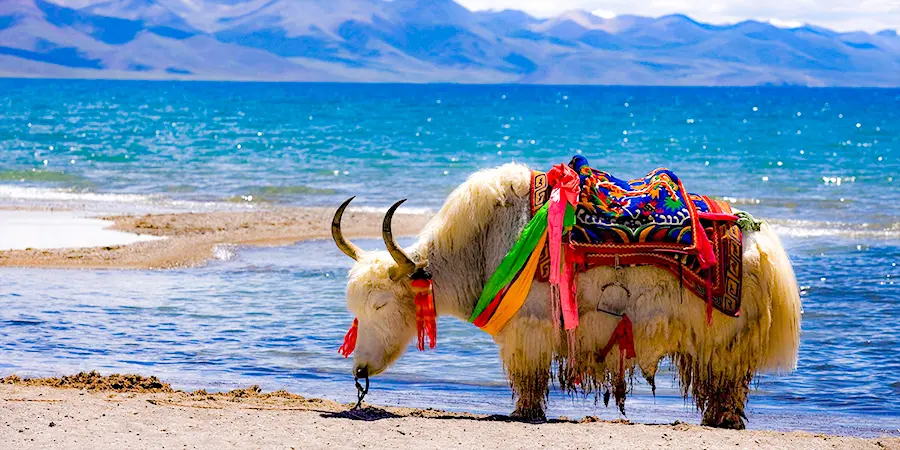
By the lakeside, Tibetan gazelles and yaks graze peacefully or wander leisurely, inviting you to slow down and savor the tranquility.
 |
| Paiku Lake |
- Last updated on Oct. 30, 2025 by Jally Zhang -