Qinling Mountains
Qinling Mountains Facts
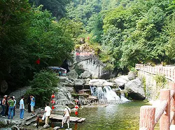
![]() Other names: Nan Mountain, Zhongnan Mountain
Other names: Nan Mountain, Zhongnan Mountain![]() Length: more than 1,600 kilometers (994 miles) from Gansu Province in the west to Henan Province in the East
Length: more than 1,600 kilometers (994 miles) from Gansu Province in the west to Henan Province in the East![]() Main peaks: Zhongnan Mountain, Mount Huashan, Taibai Mountain
Main peaks: Zhongnan Mountain, Mount Huashan, Taibai Mountain![]() Highest peak: Taibai Mountain with a height of 3,771.2 meters (12,372.7 ft)
Highest peak: Taibai Mountain with a height of 3,771.2 meters (12,372.7 ft)
|
|

A Geographical Boundary between South and North China
The Northernmost Habitat of Giant Pandas
The Qinling Mountains are the northernmost habitat of wild giant pandas in China, and the population density of Qinling pandas ranks first in China. There are about 270 giant pandas living in the Qin Mountains, with these Qinling pandas distributed in 7 areas, like Taibai Mountain and Qingmuchuan. They usually live at an altitude of over 2,600-3,500 meters (8,530-11,483 ft).
Main Peaks of Qinling
Zhongnan Mountain, also called Nanshan, is the middle section of the Qinling Mountains with the height of 2,604 meters (8,543ft). Moreover, it is the birthplace of Taoism. Zhongnan Mountains National Forest Park is a good place for visitors to appreciate some remaining Taoist temples, such as Zhaoyin Temple, and Bamboo Forest Temple, as well as steep cliffs and springs. In addition, Qinling Tunnel is a wonderful structure through Zhongnan Mountain, which is 18.02 kilometers (11.20 miles) long, reputed to be the longest double-hole highway tunnel in the world.
One of the main peaks of the Qinling Mountains, Mount Huashan is situated in Huayin City, 120 kilometers (75 miles) to the east of Xi’an. Mount Huashan Climbing is pretty popular among tourists, but quite adventurous due to its steep cliff. Moreover, Mount Huashan is a holy place of Taoism in China. At the present time, there are at least 20 Taoist temples scattering on the mountain.
More Peaks of Qinling
What to See on or around Qinling Mountains
- Gaoguan Waterfall
- Taiping National Forest Park
- Zhuque National Forest Park
- Heihe National Forest Park
- Louguantai
- Qinling Botanical Garden
- Qinling Wildlife Park
- Straw Hut Temple
- Xiangji Temple
- Xianyou Temple Museum
- Foping National Nature Reserve
- Shimen Plank Road Scenic Area
- Jinsixia National Forest Park